Maps
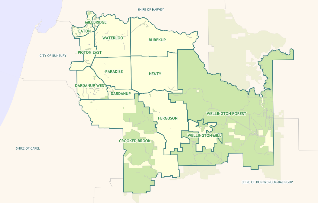
You can explore the Shire of Dardanup through the Interactive GIS Mapping Portal.
This state-of-the-art web mapping tool takes the sharing of information to a whole new level.
Have you just moved to the Shire? Use the portal to explore pathways, playgrounds, parks, public toilets, sporting facilities, recreation and tourist attractions. A new NEAR ME function helps find the closest facilities to you like dog exercise areas, barbecues or parks.
You can also use the portal to find out which day your bin is collected, watering days for your property and whether you are located in a bush fire prone zone.
Buying or selling property? Explore land parcels, look up zoning information, review infrastructure and facilities or assess the topographic landscape.
Building, developing or providing services? Use the aerial photography to review infrastructure changes over time and help with planning.
Practical uses for the mapping portal are endless, and all residents and business owners are encouraged to dive in and have a go!
Click here for mapping portal
More detail
There are several mapping options available online including:
- General land and property (including aerial photography).
- Property Zoning.
- Localities.
- Town Planning Schemes (Now updated to TPS9).
- Bushfire Prone Areas 2024 (New).
- Bin collection days.
- Dog exercise areas.
- Places of Interest.
The Shire of Dardanup utilises IntraMaps as its online GIS Mapping Portal, which has an online help to guide you on effectively exploring the Shire of Dardanup interactive maps using the IntraMaps tools.
IntraMaps tools allow users to explore location and attributes-based information for any property or land parcel and other facilities within the Shire of Dardanup. Navigate to the information you need using built in search tools.
For example: Search by Address. Information is then presented on an informational panel displaying details such as zoning, bin collection days, residential details and more.
Location based Information for the Shire of Dardanup is presented as layers that you can switch on and off to display on the map. The layers are categorised under three main groupings (modules) allowing the users to toggle from one module to the other to view relevant common theme information. The groupings currently available are:
- Property enquiry
- Town Planning Scheme
- Aerial photography
Printing is available to scale in both aerial and mapping formats. For assistance on how to use tools available within IntraMaps use the help function (?) within the IntraMaps application.
Useful links to other sites: Landgate Mapping Portal; Google maps; TPS; Public Toilet map
Feedback? User feedback is greatly appreciated and may determine the outlook of the Portal and any new data that becomes available.
Contact us here